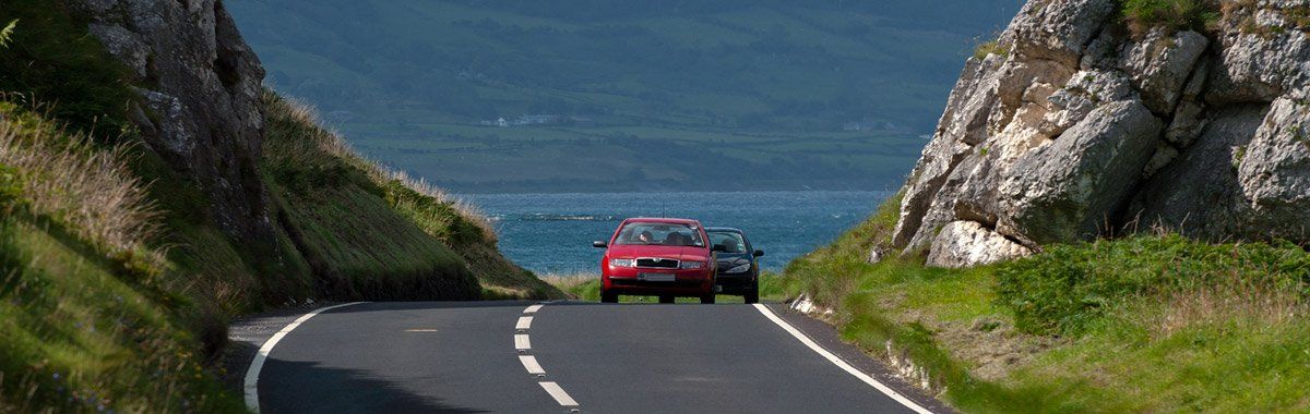
The Antrim Coast Road
Technically the 'North Antrim' Coast Road runs between Ballycastle and Larne forming part of the main A2 coast road, though many would see it as running to Portrush. The new name replaced the original Old Irish Highway, today the Antrim Coast Road has morphed once again to be part of the designated Causeway Coastal Route between Londonderry and Belfast. It was built by William Bald, a Scottish surveyor, cartographer and civil engineer between 1832 and 1842 to replace the Old Irish Highway which had fallen into dangerous disrepair. The project was originally called the Grand Military Way and made in light of strategic lessons learnt by the government after the1798 rebellion. It was constructed not only to bring accessibility to the Glens and coastal areas for inhabitants and trade but also to create a quick access route for troops, should that ever be needed.
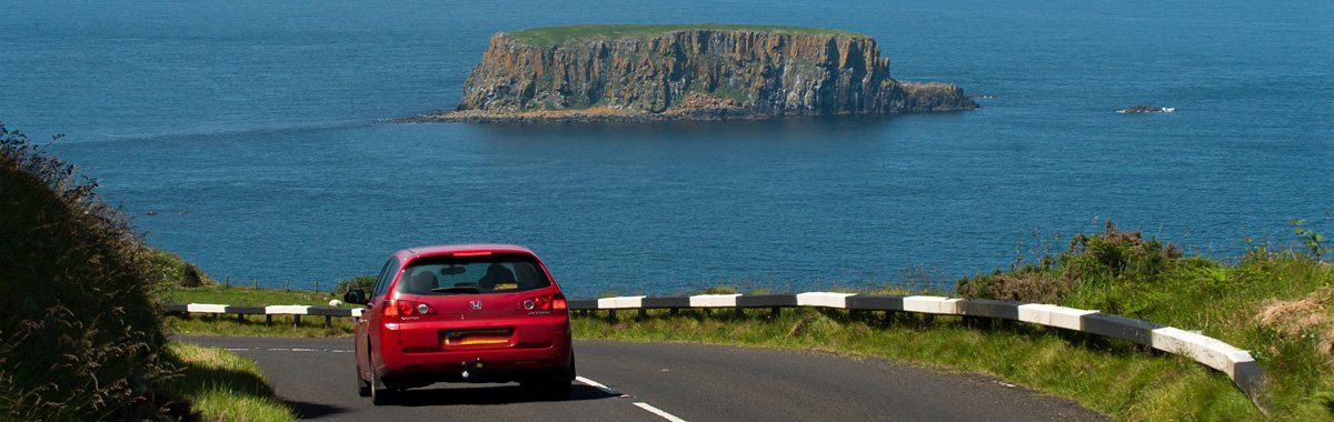
The road employed the skills of not only the engineer William Bald but those of County surveyors Thomas Woodhouse and Charles Lanyon - there are some fine example of bridge design and construction along the route, most of these you will drive over and never notice but others like the wonderful Glendun bridge you will find hard to miss. A short example of the route:- after leaving Ballycastle the first small hamlet you come to is Ballyvoy, on the left as you arrive at Ballyvoy is Culfeightrim Church which looks almost tropical with a palm tree in the graveyard, you can find a large standing stone here situated close to the entrance door of the Church. At Ballyvoy the Tor Scenic Drives loops off or rejoins the Main Coastal Route which he road then ascends from Ballyvoy to Ballypatrick Forest Park following the winding valley that carries the Carey River down from Cushleake Mountain.

The Forest Park which is adjacent to an outdoor activity farm centre of Watertop Farm, has a six-mile loop drive, mid-way around the drive you can visit an example of a Megalithic burial chambered. The drive (currently closed) offers some fantastic views of Knocklayd and Rathlin Island. Corratavey Bridge which was built by William Bald in 1832 to carry the Coast Road over Corratavey Burn forms an interesting feature to the forest drive - the road and burn combine as a ford to pass below the bridge. (Drive is currently closed but you can walk it which is an excellent walk). After Ballypatrick the route passes over a raised walled roadway through Loughareema, this unusual Lough is fed by several small streams which carry the runoff water from the surrounding hills but has no river outlet itself.
At its extreme, it can fill to a depth of over twenty-five feet and is known locally as 'the vanishing lake' due to its ability to fill and empty within days. It has baffled people for centuries with its unique phenomenon. During warm weather, the lake dries out and develops classic 'sun cracks'. In the centre is a hollow or pot where the water drains away. The bed of the Lough is stratified alluvial mud overlying a bed of gravely deposits, the water drains away through this and the underlying rock strata to reappear from limestone rock some two miles away. As a young man, I was told stories about Loughareema, that on certain nights a ghostly carriage and horses could be seen crossing the road through the Lough, walking back home alone from dances in Castle Green at 4 am on a Sunday I would often recall these stories on passing the Lough, though I never saw the ghostly carriage.
I found out in later life that the story had developed from a tragic and true occurrence at the Lough in 1898. From Loughareema you ascend the final few hundred feet or so up onto the plateau of blanket peat. Here, on a clear day, you'll find stunning views ahead which take in five of the nine glens. The sheep tend to ignore passing cars, the mountains belong to them and some will hardly bothered themselves to move out of your way, at night you'll find many sleeping by the roadside. The road then descends into Glendun and on through Glencorp to Cushendall, it then hugs the coast down to Larne.