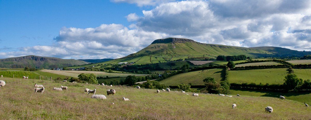
The landscape of the Glens was partially formed by glacial activity. The sides of Lurigethan Mountain are flanked by Glenariff and Glenballyemon. Glenariff is an impressive geological example of a glacial U-valley, formed as the result of a melting ice cap. As the ice retreated, huge melted water channels formed and glaciers moved, eroding the earth, leaving behind the unique landscape we see today. One characteristic of the Glens was broadleaved woodlands like Craigagh in Glendun, as well as the hazel and ash copses found along the Glen sides and rivers. Although they make up only 3% of the landscape, these woodlands are very significant. Many are of ancient origin and contain a diverse range of flora and epiphytic plants (algae, lichens, mosses and ferns).
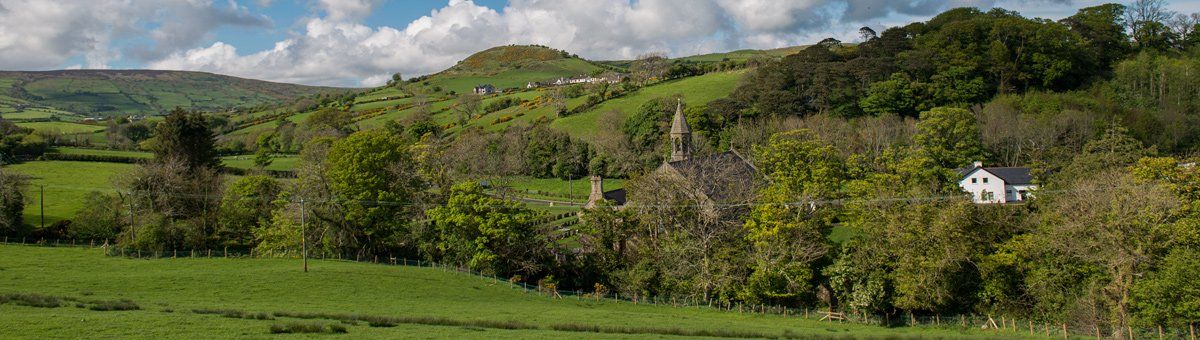
In 1988, the Antrim Coast and Glens was designated as an ‘Area of Outstanding Natural Beauty’ (AONB). The area from Ballycastle to Larne includes the Glens of Antrim, Rathlin Island and Slemish Mountain and covers some 70,600 hectares. The hill opposite the main entrance to the Cottage Wood is known as Court MacMartin. It was the site of a stone polygonal castle (early 1300s) believed to have belonged to the Lord of the Glynns (Bisset's). Court MacMartin is also one of three local volcanic plugs, these are the remains of channels through which molten lava would have erupted. The other two are Tiveragh and Tievebulliagh.