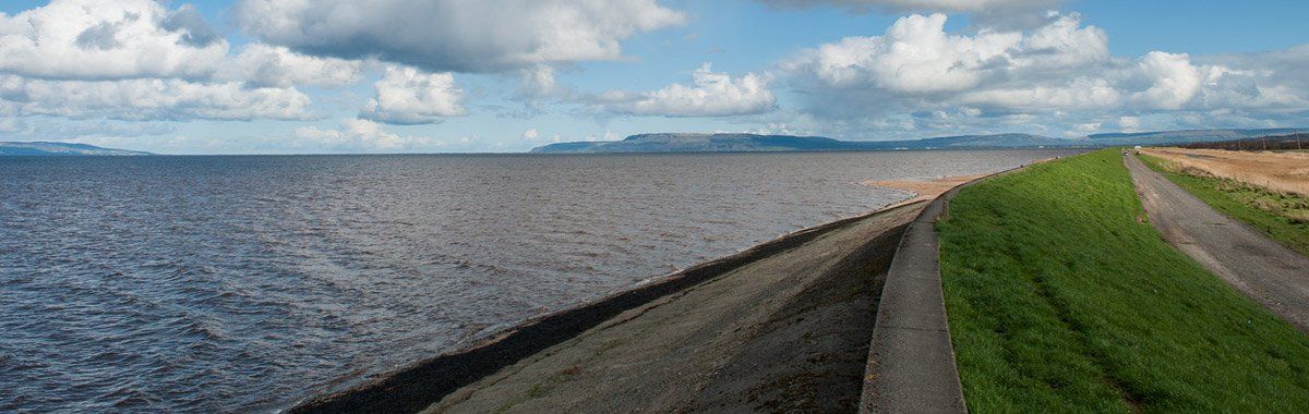
This area like Magilligan would have been underwater after the last ice age. As the land slowly rose the area revealed glacial deposits of shingle and sand, tidal salt marshes and raised beaches. The fertile alluvial plain stretched from Enagh to the mouth of the River Roe. What we see today was artificially created during the 1800s when the Honourable Irish Society initiated a major drainage scheme for the area to facilitate the lying of the new railway line from Belfast to Londonderry and also to develop new farmland. Over 18,000 acres were drained and large sea walls built to protect the land from the tidal Foyle. The man-made banks run for some 8km from the mouth of the River Roe round to Ballykelly.
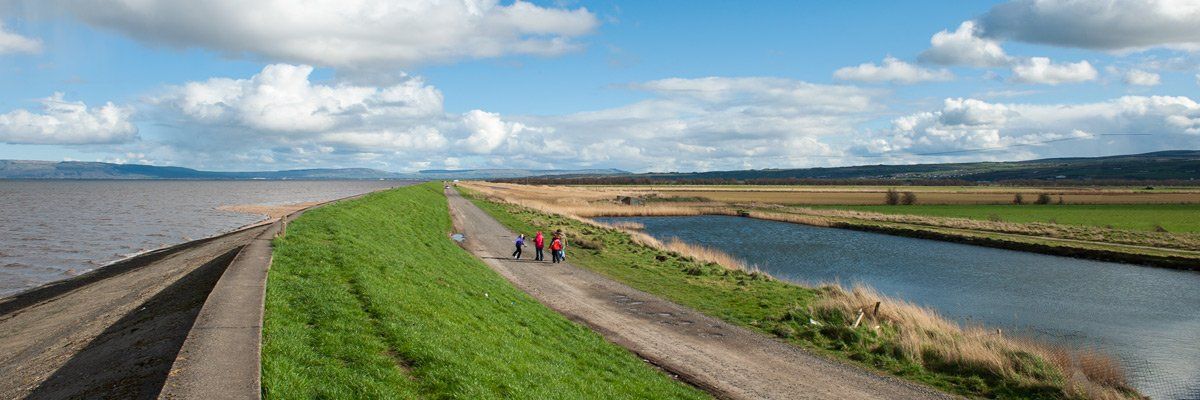
There are several hides and locations for visitors to watch from, the area is a designated RAMSAR site (wetlands of international importance). In 1820, the Broharris canal was constructed from the Foyle toward Limavady, it runs for approximately 3.2km. As well as providing a major drainage channel it also served to take goods by barge from Derry to near Limavady. The survey for the canal was carried out by the well know canal engineer John Killaly, who was responsible for the Grand Canal and the Newry Canal. The land provided the ideal location for airbases during the Second World War when Ballykelly and Eglinton were built. Ballykelly which is now closed lies behind the Ballykelly Bank, the large runway was expanded to take V Bombers during the late 50s. The extension left the railway line crossing the runway where the trains had right of way!